DAY TRIP
ŠALČININKAI – DIEVENIŠKĖS – NORVILIŠKĖS
(trip length: ~57 km)
ŠALČININKAI (town Square, A. Mickiewicz Monument, Wagner Palace) – POŠKONYS (street village, Dieveniškės Historical Regional Park Visitor Centre, Poškoniai Mound Cemetery, Gribiškės Oak, Grybiškės Pine, Rimašiai Stone Cemetery, mythological stones Jankelis and Jankeliukas) –RIMAŠIAI – BEČIONYS MOUND – DIEVENIŠKĖS (church, mythological stone Mokas, Swedish chapel) – GAUJA TRAINING TRAIL – NORVILIŠKĖS (castle, church).
Šalčininkai
The centre of the district is Šalčininkai, a town 45 km from Vilnius, with a current population of 7000. The town is located on the Šalčininkai River, from which it gets its name. The first mention of Šalčininkai dates back to the 13th century in historical Crusader sources, where the place is called ‘Salsininken’ or ‘Saletzniken’. From the 14th century, the settlement belonged to the Glebavičiai family, later it was ruled by the noblemen Chodkevičius, and in 1823, Šalčininkai was bought by the Vagner family, who managed the area until the Second World War.
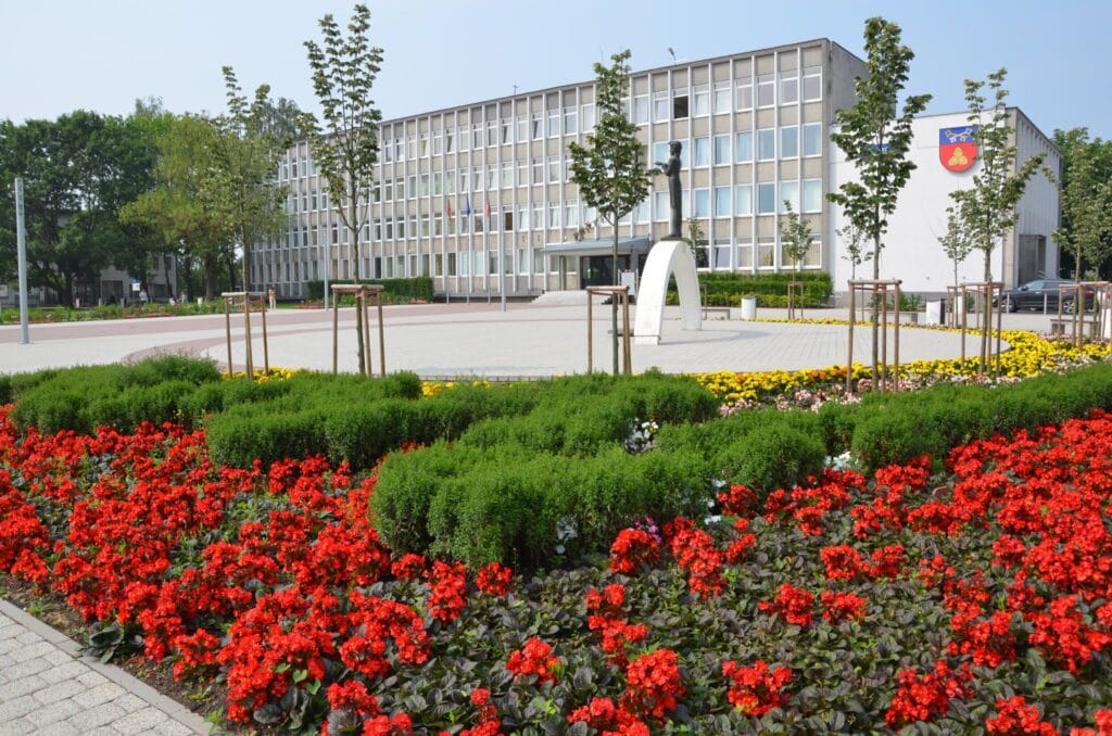
The main square of the city is decorated with a monument to poet Adam Mickiewicz. Its author is Bronius Vyšniauskas. The monument was erected in 1998 to commemorate the 200th anniversary of the poet’s birth. In December 1998, the monument was unveiled at the Municipal Square. The one-and-a-half metre high bronze sculpture stands on a white pedestal symbolising a rainbow. It is inscribed with the last line of Mickiewicz’s ballad “Romantika” (“Romantyczność”) in Lithuanian and Polish: “Miej serce i patrzaj w serce / Look with your heart into your heart”.
Wagner Palace
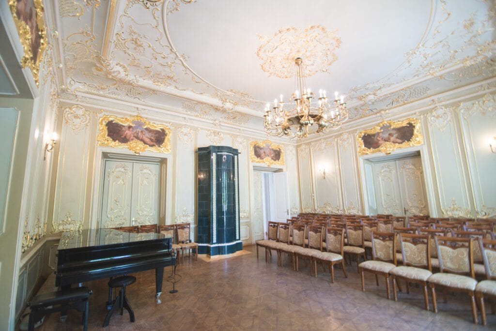
The most important object of cultural heritage in Šalčininkai is the Wagner Palace. The estate has been mentioned in written sources since the 14th century.The property rights were first held by the Glebavičiai family, later by the Chodkevičius family, and since 1835 the estate has belonged to the Vilnius pharmacists, Counts Martynas and Karolis Vagneris. In 1880, Vitoldas Vagneris built a two-storey Neo-Renaissance palace with two porticoes. A German architect, Hetschold, joined the new palace with the old one built by the Chodkevičius and created an outhouse in the old part, a room for servants. The manor flourished especially between the wars, when Vitold’s son, Charles, took over. The Vagners’ farm was considered a model farm in the Vilnius region. Foreign delegations were taken to the Vagneris farm. Inside the building, you can still see the excellent wood-burning stoves, and the so-called ‘golden hall’ is worthy of attention. The palace is now home to the Stanislav Moniuszko School of Arts.
Poškonys
Historical sources first mention Poškonys in the Acts of the GDL of 1713. At that time, the village belonged to the Arlaviščių manor, the landlord Jonas Zemla. According to the layout of the homesteads and buildings, the village is a street, grid, built on one side. Since ancient times, people have decorated their houses and homesteads with their own handicrafts. The old street is architecturally and historically valuable. The houses were built at the end of the 19th century.

Dieveniškės Historical Regional Park Visitor Centre
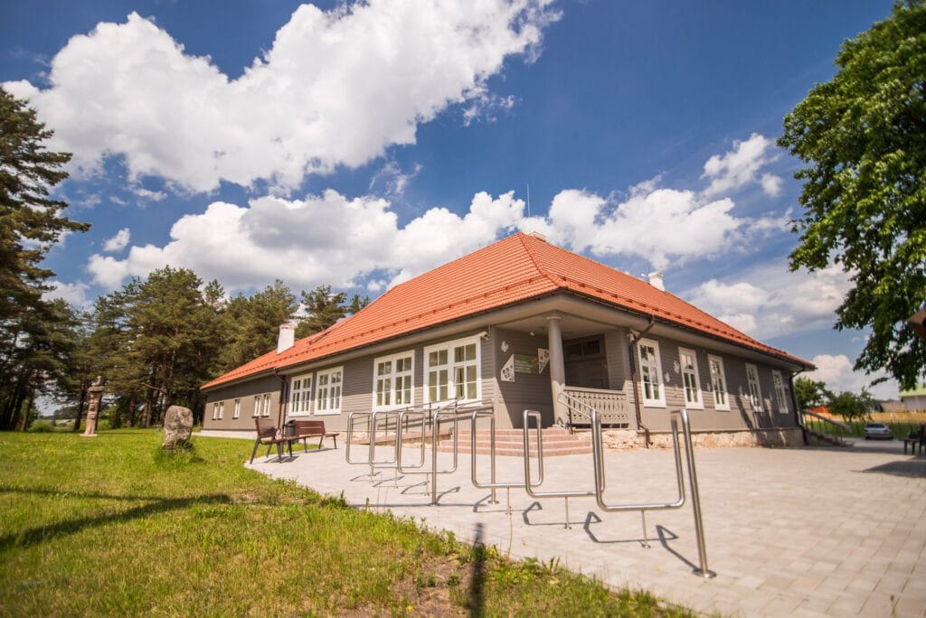
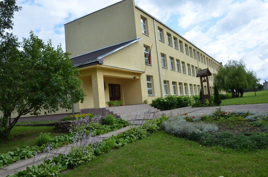
The Dieveniškės Historical Regional Park Visitor Centre was built by reconstructing the old Poškoniai School building on the existing foundations, restoring the volume and façade of the authentic building. The small museum displays 19th- and 20th-century utensils and farm tools collected in the Dieveniškės area. The information centre also houses a collection of looms, bedspreads, tablecloths, towels and collections of selected patterns. You can also visit the stone sculpture park, order a tour guide, and buy information publications about the park.
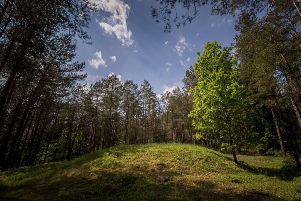
Poškoniai burial mound
Tombs are the graves of our ancestors. They are the graves of the people who were buried there. Around the mound are often wreaths of stones, which the ancients believed would protect the dead from evil spirits. Often, a layer of ash and soot is found at the base of the mounds, indicating that fire ceremonies were performed. In later burials, the stone crowns were replaced by grooves or pits around the mound. There are some burial mounds where the mounds are paved or stacked with stones. The burial mounds contain unburnt and burnt dead, and in some places horses are buried with the dead. The Poškoniai burial mound is located in a forest on the left bank of the river Gauja. The cemetery consists of a group of 24 burial mounds situated at the top of the hill and on its slopes. The mounds range from 5 – 6 to 12 m in diameter, 0,7 – 1,2 m high. The largest mound is 22 m in diameter and 1,8 m high. The bases of the mounds are surrounded by irregular stone crowns.

Grybyškės oak
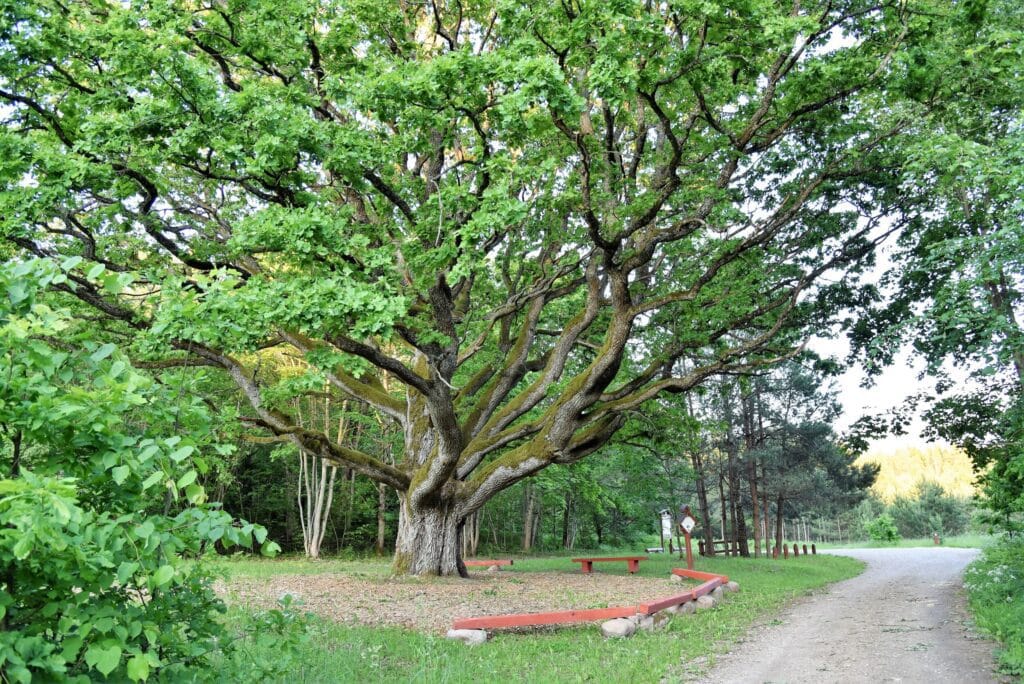
It is the largest and oldest oak tree in Dieveniškės Historical Regional Park. The trunk of the oak is 4.98 m long, 1.6 m in diameter, and 26 m high.The largest Lithuanian shrew has been found near the Grybiškės oak, which is registered in the Lithuanian Book of Records. The weight of the barnacle was 3.05 kg and the diameter of the cap 49 cm.
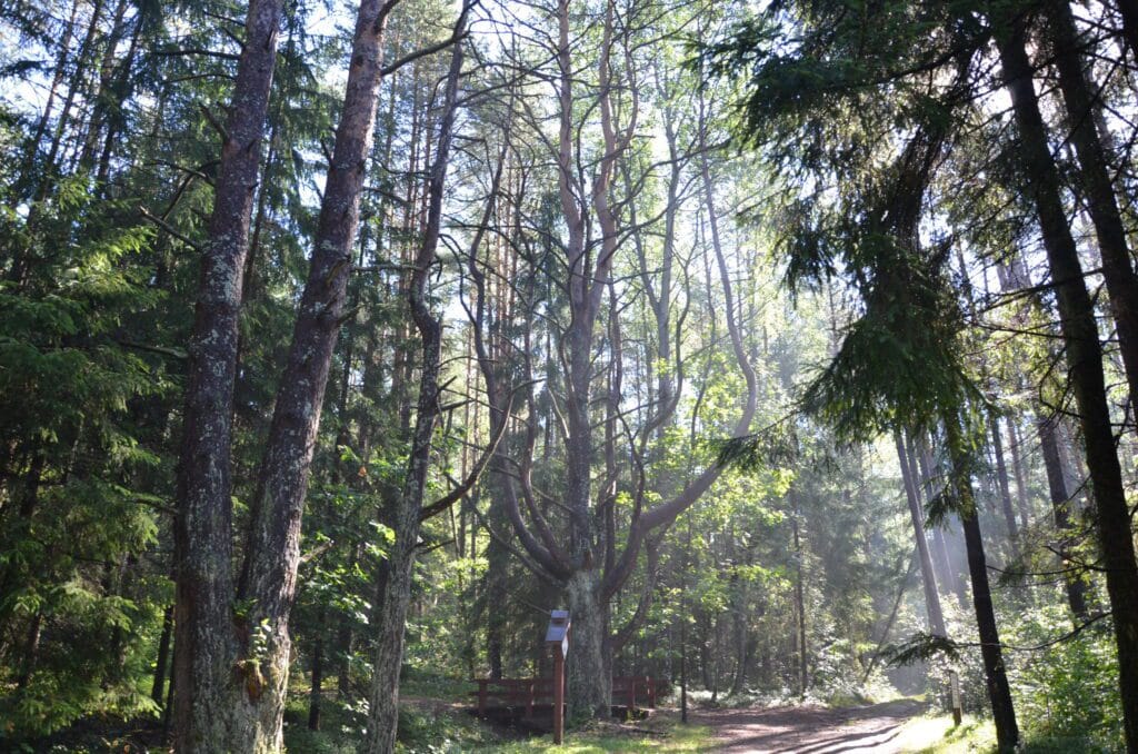
Grybiškės pine.
State-protected natural heritage site. Tree species – Scots pine. Trunk circumference at a height of 1,3 m – 2,62 m. Height – 21 m. Leaf height – 11 m, crown width – 10 m, crown shape irregular, projection width – 100 m². Other features: the pine has 6 trunks, a very beautiful crown. The pine stands out from its surroundings in terms of its age and, in particular, its beauty. The age of the Gribiškės pine is about 100 years. The age is approximate in comparison with surrounding trees of known age. The Grybiškės pine tree grows near a forest road which 50 years ago was the main road connecting the two villages of Poškonis and Jurgelionis. Now the road has lost its significance. The forest that surrounds the pine tree was planted during the collective farms.
Rimašiai stone masonry
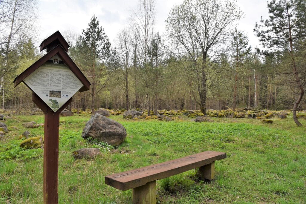
One of the attractions of the park is the group stones and boulders. The people of our region have always been surrounded by stones. They have been used in everyday life, in construction and in cult objects. There are 4 heritage objects in the territory of the park – stones, about which many stories and legends have been created. A preserved site with stones brought from reclaimed fields is a witness to the reclamation drive. Stones from the surrounding reclaimed fields were transported to a specific area and piled up in rows. The plan was probably to blast them and use them for construction.
Mythological stones Jankelis and Jankeliukas
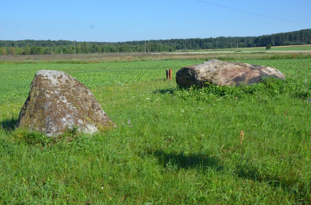
The natural monuments of the Ice Age are mythological stones. The Jankelis and Jankeliukas stones of the Didžiulių stones lie along the road Šalčininkia-Poškonys-Dieveniškės. “Jankelis is as large as 2.5 m by 3.6 m and reaches a height of 1.3 m, while Jankeliukas is slightly smaller and reaches a height of 1.2 m. According to legend, these are two musicians who decided to take a break on their way back from a wedding. It is said that at certain times the stones dew and “tear”. (54.249527, 25.608542).

Rimašiai street village
The farmsteads of Rimašiai village are located on the left bank of the Gauja River, following its bend. Rimašiai is mentioned in 1744.Then and later, until the abolition of serfdom, the village belonged to the Daubutiškis manor. The village land was divided into three fields, which were divided into pieces, and the pieces were divided into frames. Each section had its own name – Dvarnos, Siaurutes, Plačiosios, Kamša, Margiai, etc. This helped to orientate the fields, which were divided into many frames (15 or more frames per farmer). The southern side of the road to Dieveniškės was reserved for homesteads, as the northern side was a viscous swamp. The natural conditions resulted in a typical one-sided street-style settlement, with a cobbled street.
Bėčionys Mound
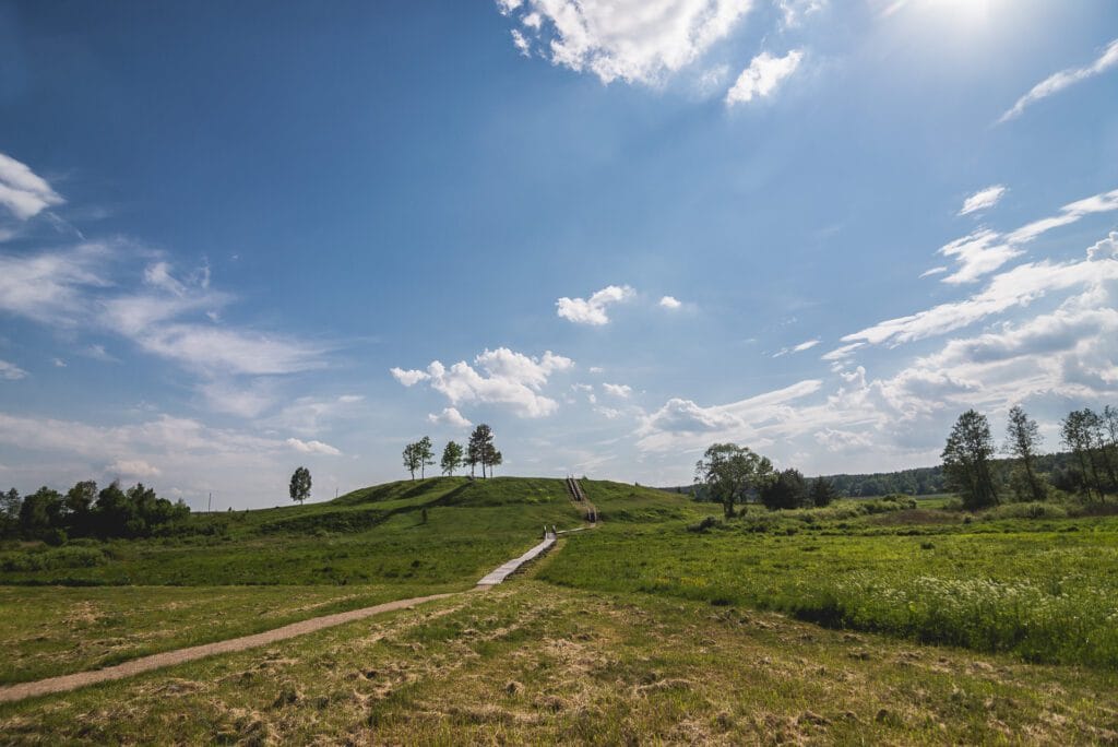
The Bėčionys Mound was first studied in the middle of the last century by the Institute of History. Archaeologists discovered a cultural layer and pottery with a striped and smooth surface on the mound site. Recent archaeological investigations have unearthed a number of finds, including traditional and black Gothic pottery, a belt sherd, a complete shattered pot with a striated pottery rim and other small fragments of pottery (1st-4th century). A thinner or thicker cultural layer is recorded in the mound (2nd-1st century BC – 1st-3rd century AD).
Dieveniškės
The town is interesting from a historical and architectural point of view. It is a typical example of a settlement in the old Lithuanian lands, which include the south-eastern part of the Republic of Lithuania and neighbouring Belarus. In its street network and development, Dieveniškės is linked to Šalčininkai, Geranainiai, Subatninki and other towns and villages. It is no coincidence that in 1970 Dieveniškės was included in the list of Lithuanian urban monuments of local importance. The most important elements of the Dieveniškės Urban Monument are the quadrangular square with five historic roads leading to it. They connected the town with Vilnius, Ašmena, Subatninki, Geranainiai and Šalčininkai.
Dieveniškės St. Church of the Virgin Mary of the Rosary
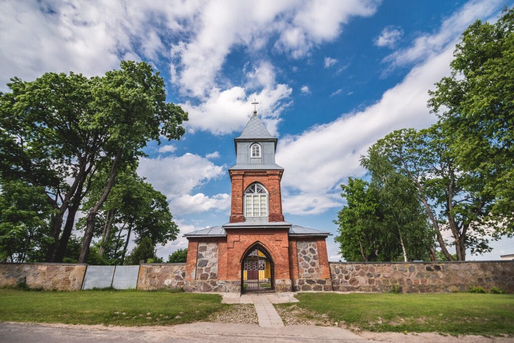
It was founded in 1471, and the present wooden church was built in 1783.The church has monumental treasures – a cross, 2 easel paintings, 3 sculptures, 2 bells (cast in 1743 and 1840). In the churchyard of the church there is a monument to Motiejs Valančius, a bishop and writer. In front of the church, a brick bell tower, 21 metres high, was built in 1903 and contains bells that are almost 200 years old.
Swedish chapel
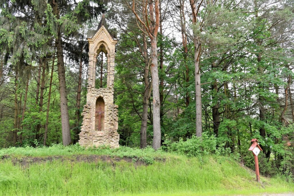
The Swedish Chapel (unique object code – 37108) is located in the town of Dieveniškės in Subotnikų street. Main data: a) height – 6 m; b) level of significance of the object – local; c) area of the territory – 187 sq. m; d) age – late 19th – early 20th century. The origins of the Swedish Chapel can be traced back to the Swedish Flood of 1655-1660, when the town of Dieveniškės was devastated, and to the Northern War of 1700-1721. There are more place names in the vicinity of Dieveniškės related to the Swedes: Švedų miškas, Švedų brasta. Since ancient times, the local people have called the graveyards ‘Swedish graves’.
Gauja training trail
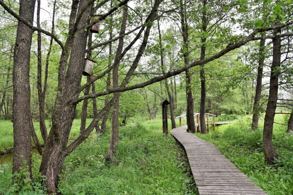
The Gauja Educational Trail is considered to be one of the most beautiful nature trails in Lithuania. The trail was created to introduce visitors to the particularly valuable valley of the River Gauja. The trail has a total of 18 information boards about the local flora and fauna. The length of the trail is 1.7 km. (54.179152, 25.660841)

Norviliškės castle
Norviliskes is located in the so-called “appendix” of Dieveniskes, about 12 km east of Dieveniskes, just next to the border with Belarus. Although only a monastery is usually mentioned, the origins of the village date back to the Renaissance. The brick monastery was built at the beginning of the 17th century. It had a dining room with a green-cockle stove and 4 windows, as well as 6 granaries for grain, a bedroom and a chamber on the second floor. There were two cellars at the bottom of the building and two more cellars under the towers. The whole building was covered with tiles and shingles. In 1832, eight monks lived in Norviliskes Monastery, four each from the GDL and the Kingdom of Poland. Unfortunately, the monastery was placed on the closure list and the buildings were converted into barracks for Tsarist soldiers. Between 1900 and 1915, the building was occupied by students of the School of Agriculture. In 1918, the monastery was converted into a parsonage. Nowadays, a tourist complex operates on the site of the old castle
Norviliškės St. Church of the Virgin Mary, Mother of Mercy
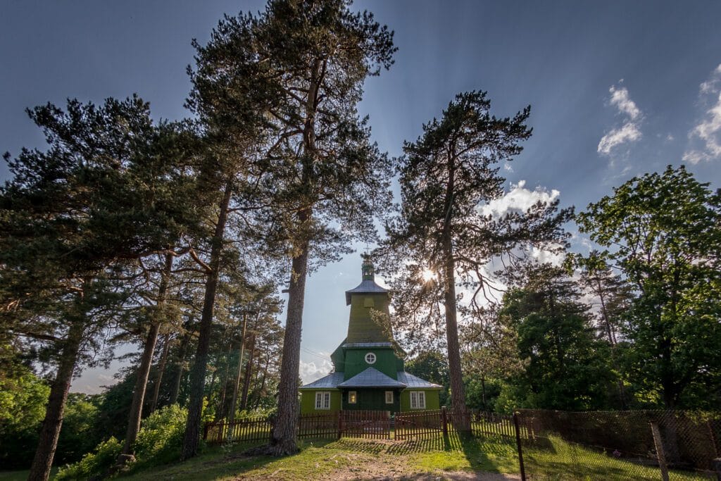
It was built in 1929 at the expense of parishioners. The church has a complex configuration, with a single apse, a five-aisle apse and a tower. The central nave is twice as high as the side aisles. A brick bell tower (mid-17th century) stands next to the church.
Stakai oak
The trunk of the oak tree is 4.9 m long, about 1.6 m in diameter and about 24 m high.According to rough estimates, the Stakų Oak is about 1000 years old.
Stakai conglomerate shells
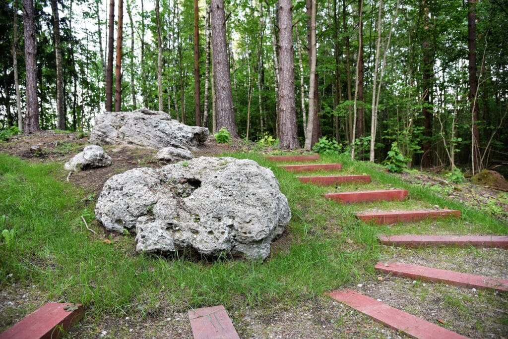
Stakai shells is a conglomerate of sand and gravel. The geological feature consists of 2 loesses lying side by side on top of a tree-covered hill. The dimensions of the loci are as follows: the larger one is crescent-shaped, about 17 m long, up to 3 m wide and 1,5 m high, and the smaller one is rectangular, 6 m x 5 m and up to 0,7 m high.